SD 74125 74587
Height: 724m (2375 feet)
Drop: 427m
Classification: Marilyn, Hewitt, Nuttall
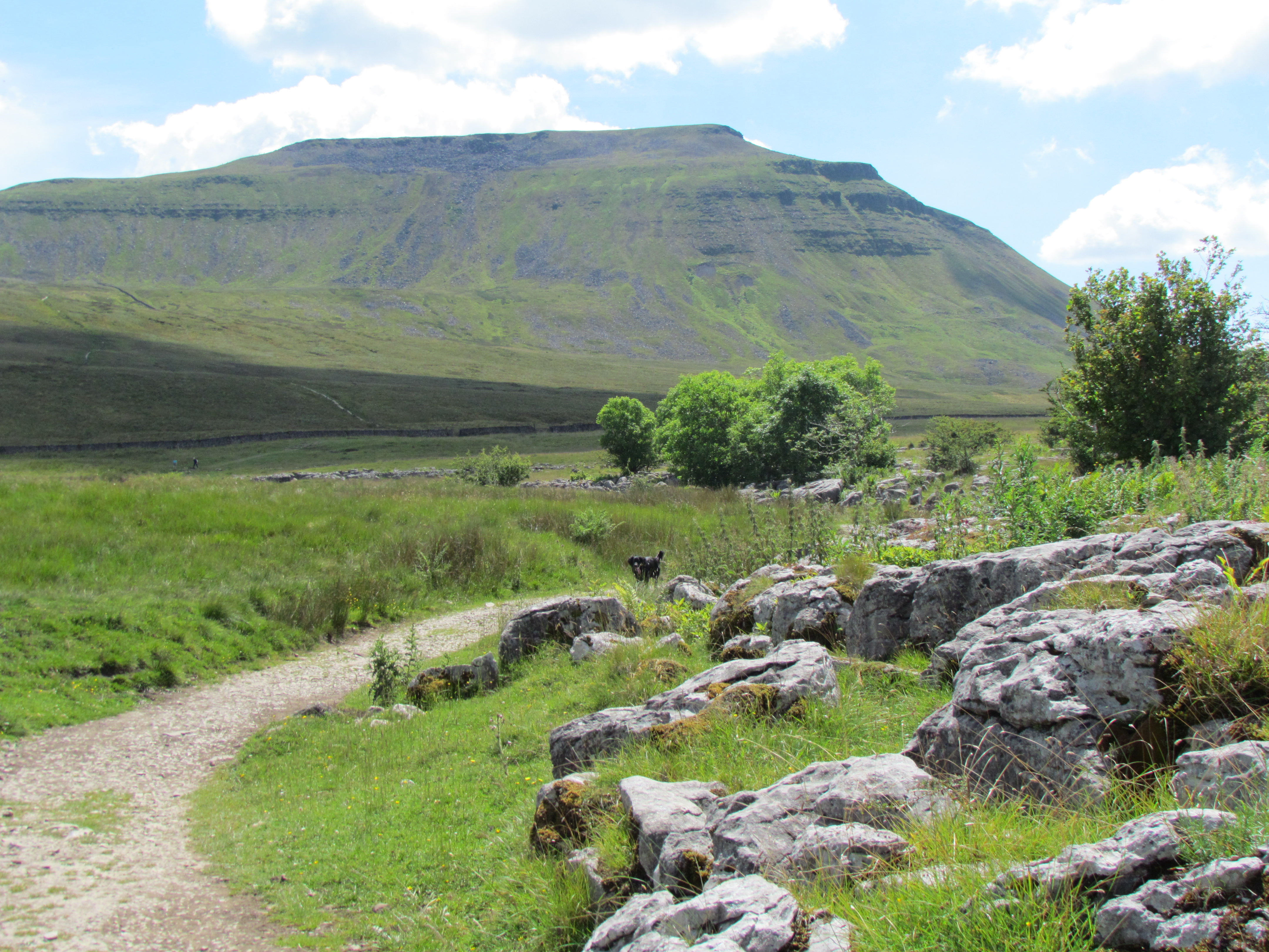
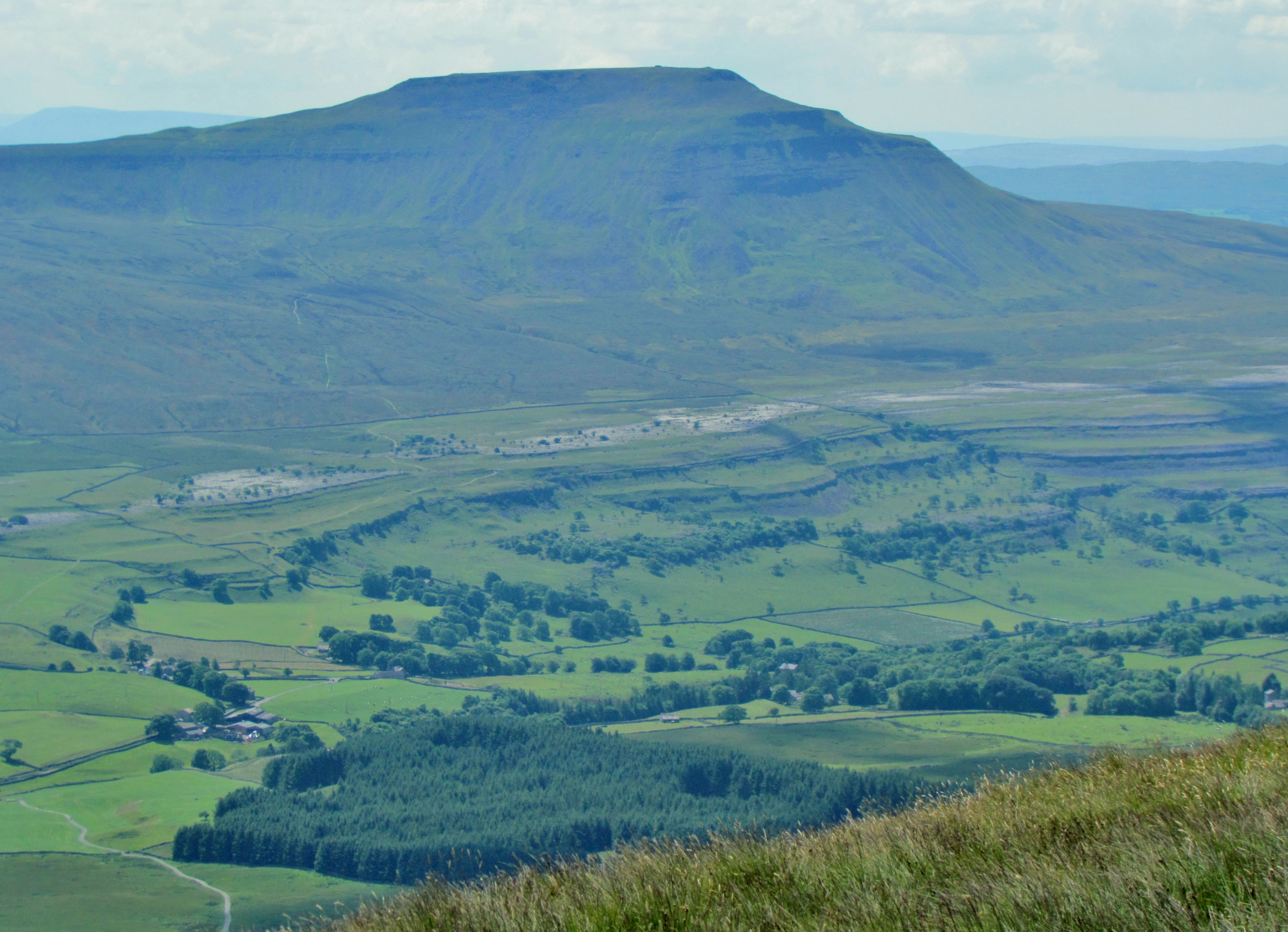
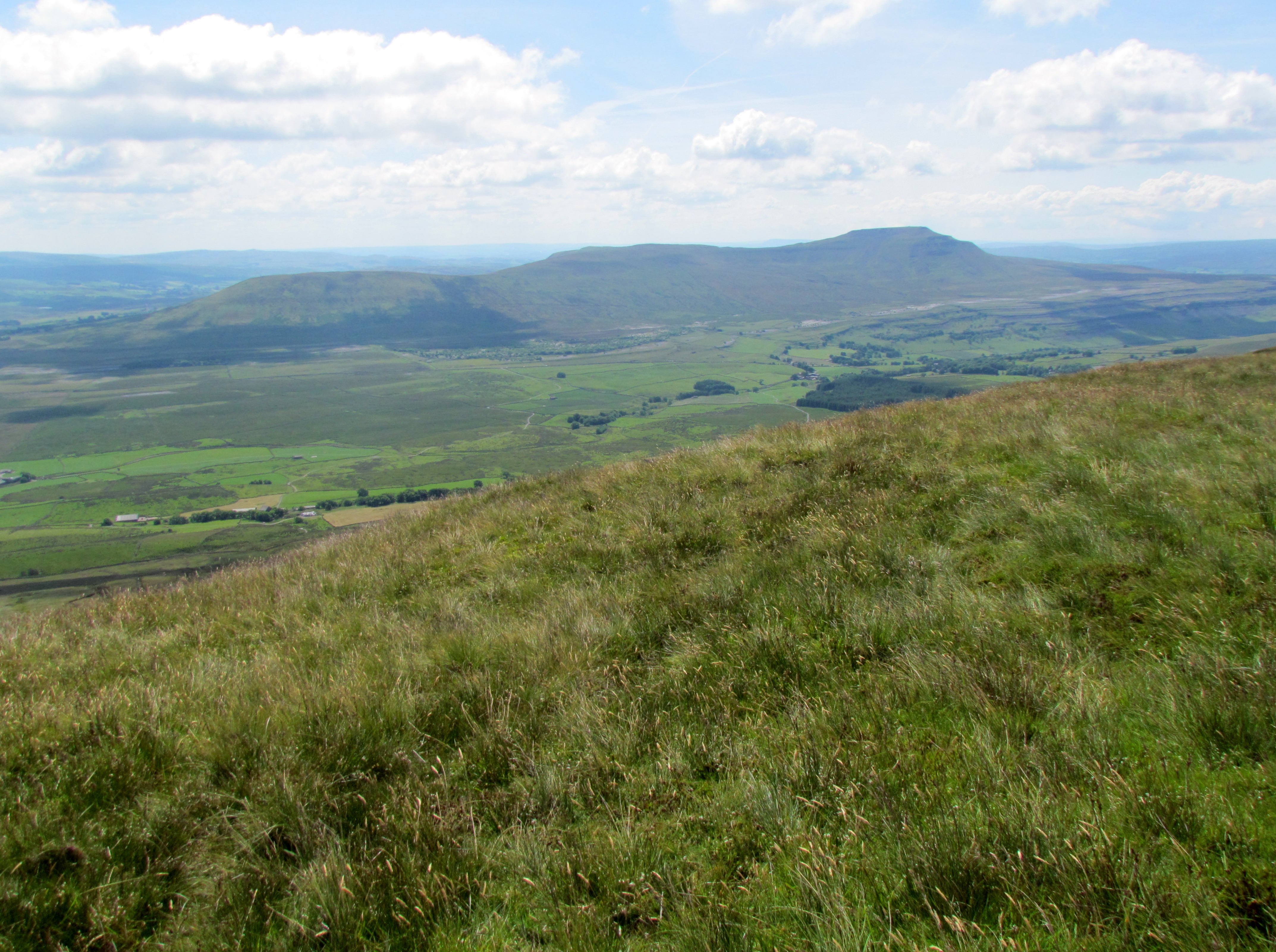
Ingleborough is the second highest hill in the Yorkshire Dales, and one of the Yorkshire Three Peaks. it has a distinctive appearance, consisting of horizontal layers of limestone, interspersed with gritstone.
Geology
These layers of limestone were laid down in the Carboniferous period (340 – 300 million years ago), when Yorkshire was covered with a warm and shallow sea. The limestone consists of the fossilised remains of tiny sea-creatures whose skeletal remains sank to the bottom of this sea. When the climate cooled, as happened a couple of times during the Carboniferous period, sea levels fell, and the area became delta-like, allowing rivers to cover the limestone with sandstone and gritstone. Erosion of the different types of stone has occurred at different speeds, giving the step-like appearance to the hill.

Ingleborough has an iconic profile, when viewed from nearby Whernside or from Ribblehead.


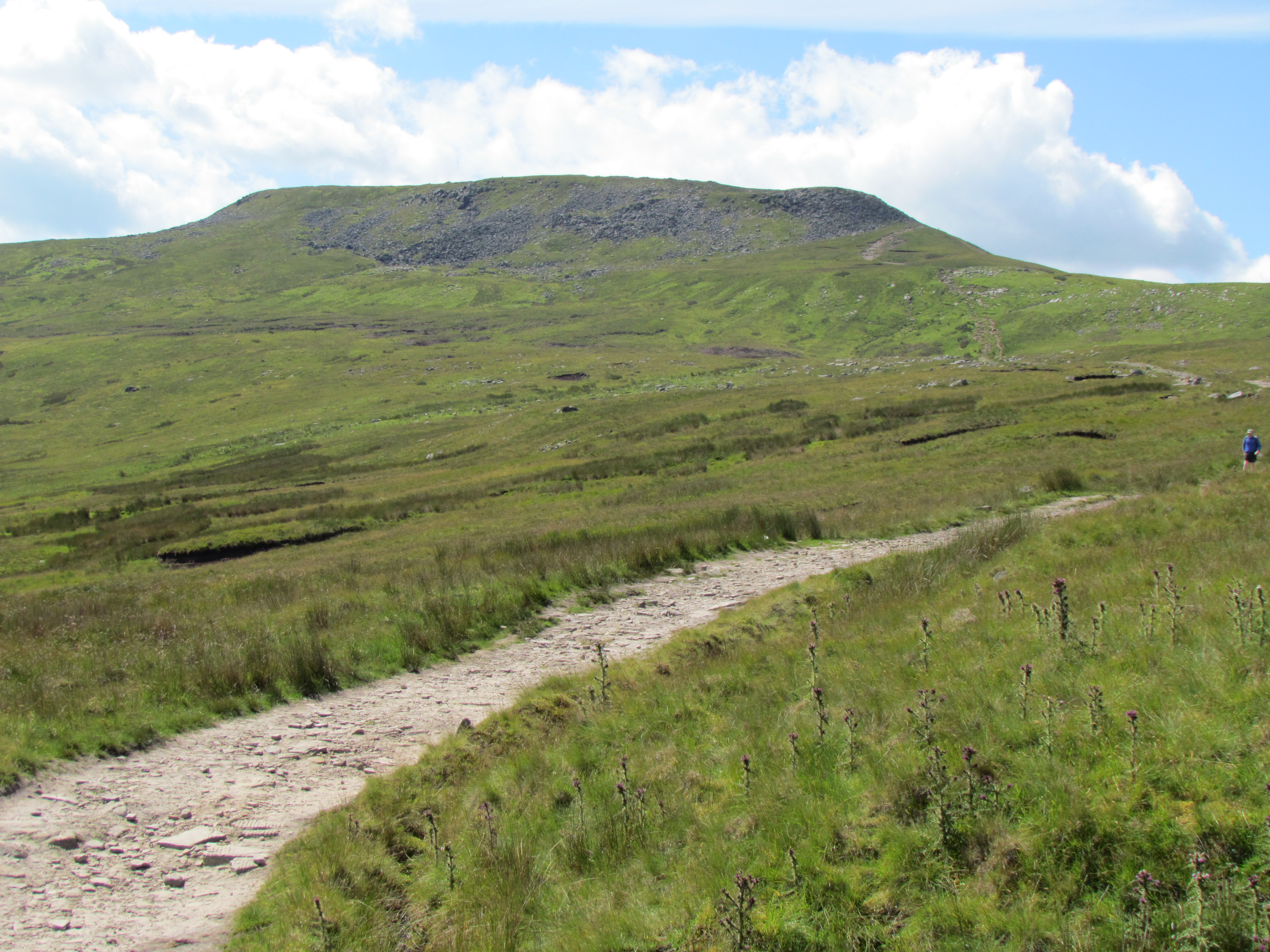
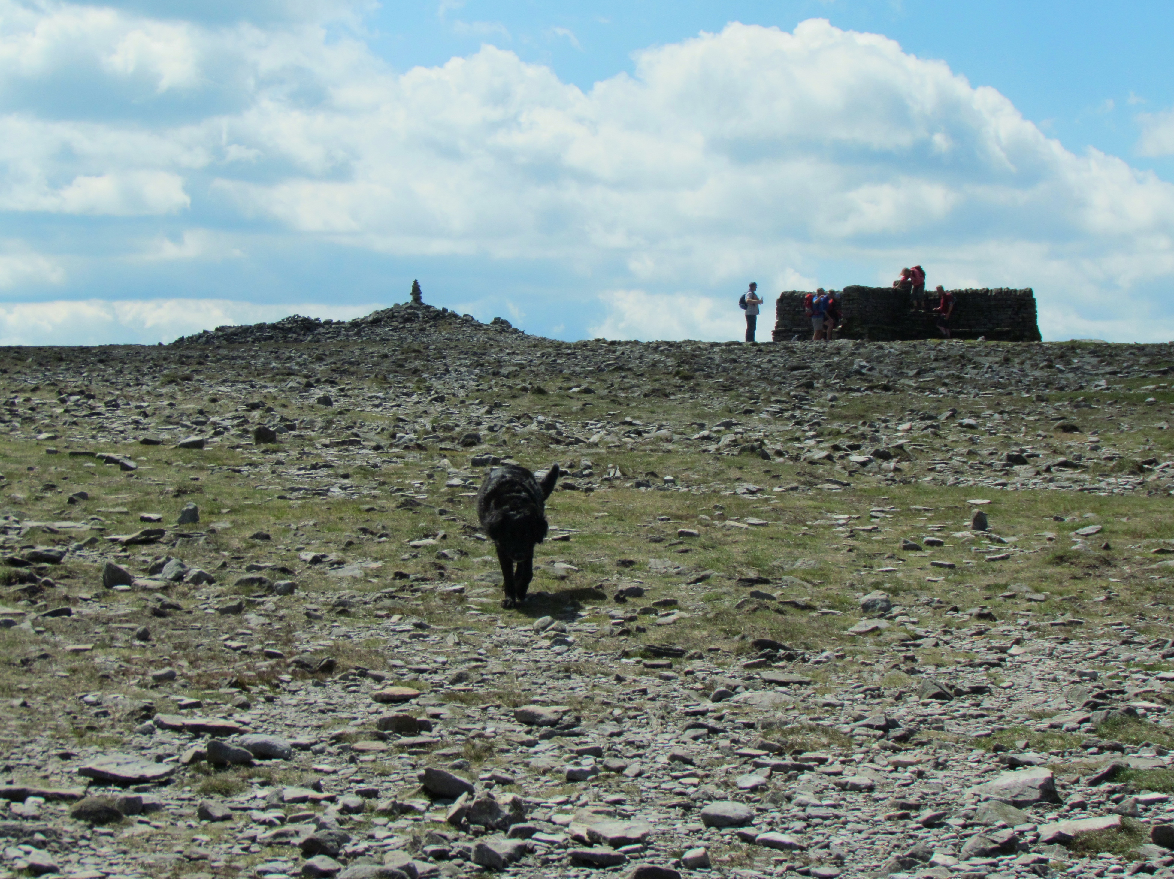
Walking routes
It is most usually climbed from Ingleton (4 miles), Clapham (5½ miles), or Chapel-le-Dale (3 miles).
Three notable circular walking routes are:
- Clapham to Ingleborough summit, descend to Ingleton, and return to Clapham along field paths via Greenwood Leghe and Newby (13 miles)
- Ingleton to summit of Ingleborough, descend to Chapel-le-Dale, and return via Scales Moor (12 miles)
- Ingleton to summit of Ingleborough, descend over Park Fell to Ribblehead Station, and return via Ribblehead viaduct and Scales Moor (15 miles)
Refreshments are available at all four villages of Clapham (New Inn), Ingleton (Wheatsheaf or Craven heifer), Ribblehead (Station Inn), and Chapel-le-Dale (Old Hill Inn).

Leave a comment