SD 83854 73383
Height: 694m (2277 feet)
Drop: 306m
Classification: Marilyn, Hewitt, Nuttall
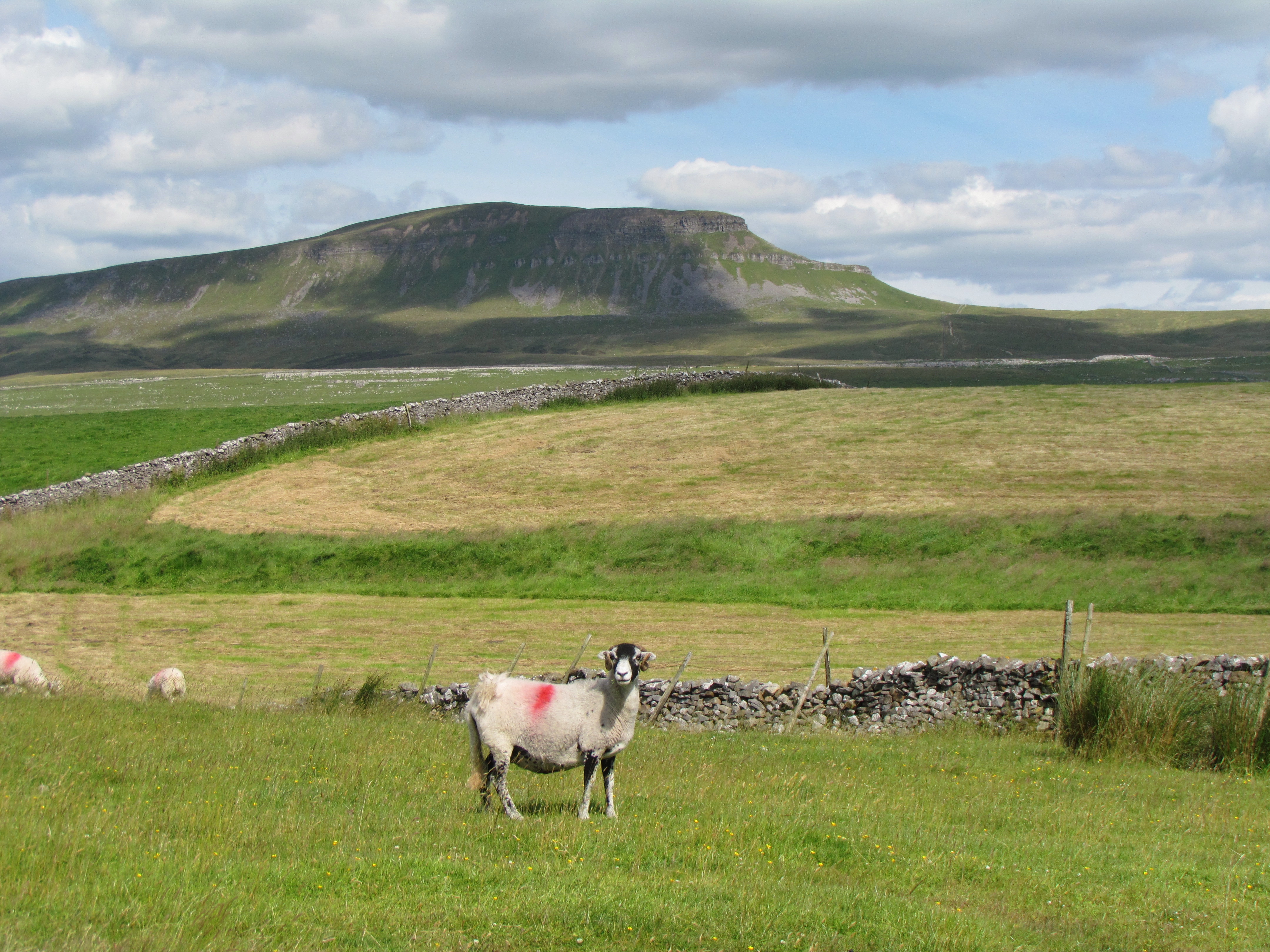
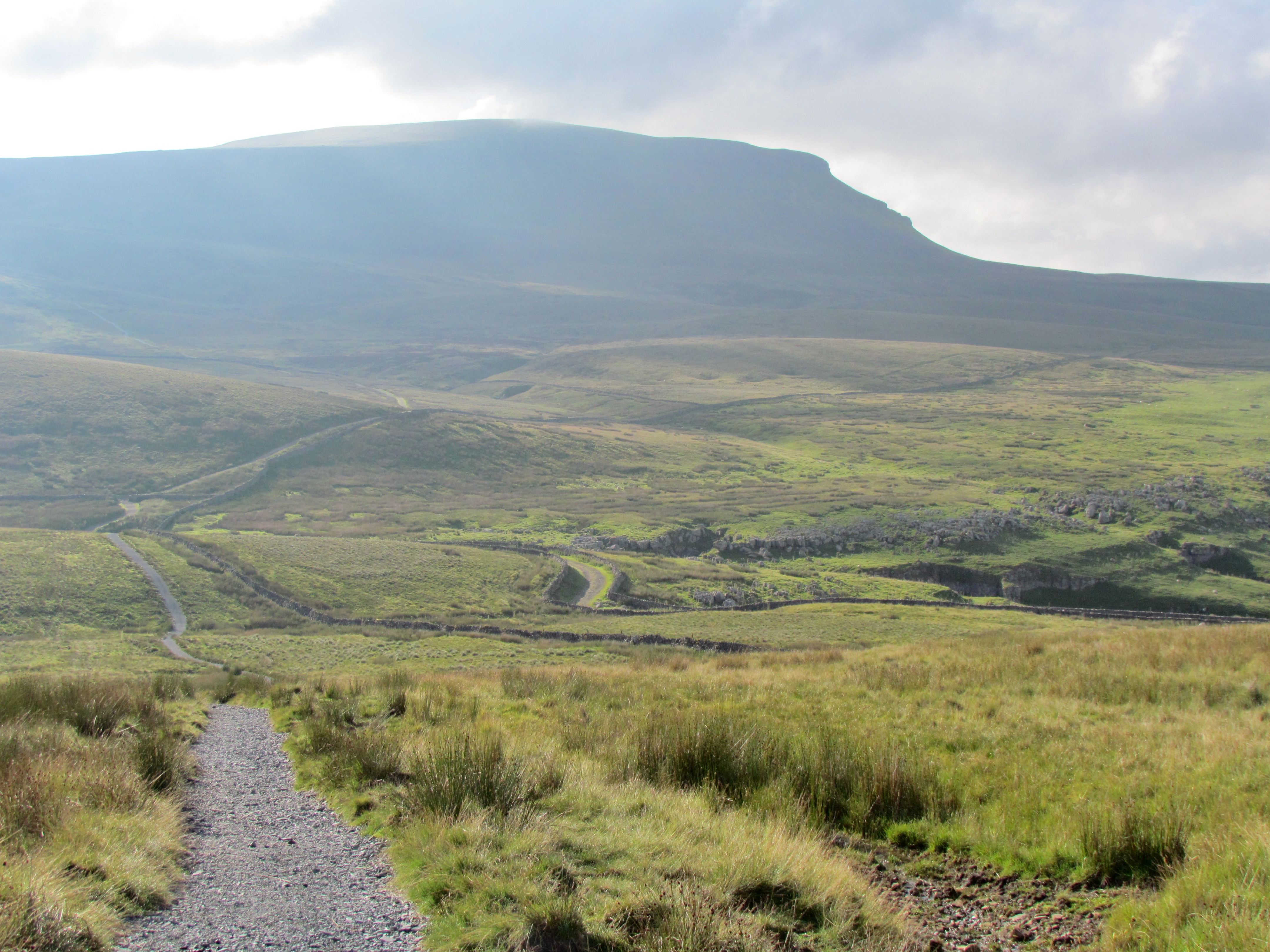
Pen-y-ghent is frequently walked for two reasons: it is one of the Three Peaks of Yorkshire (usually the first to be climbed), and it lies on the Pennine Way. It’s distinct profile makes it easily recognisable from a distance.

Summit
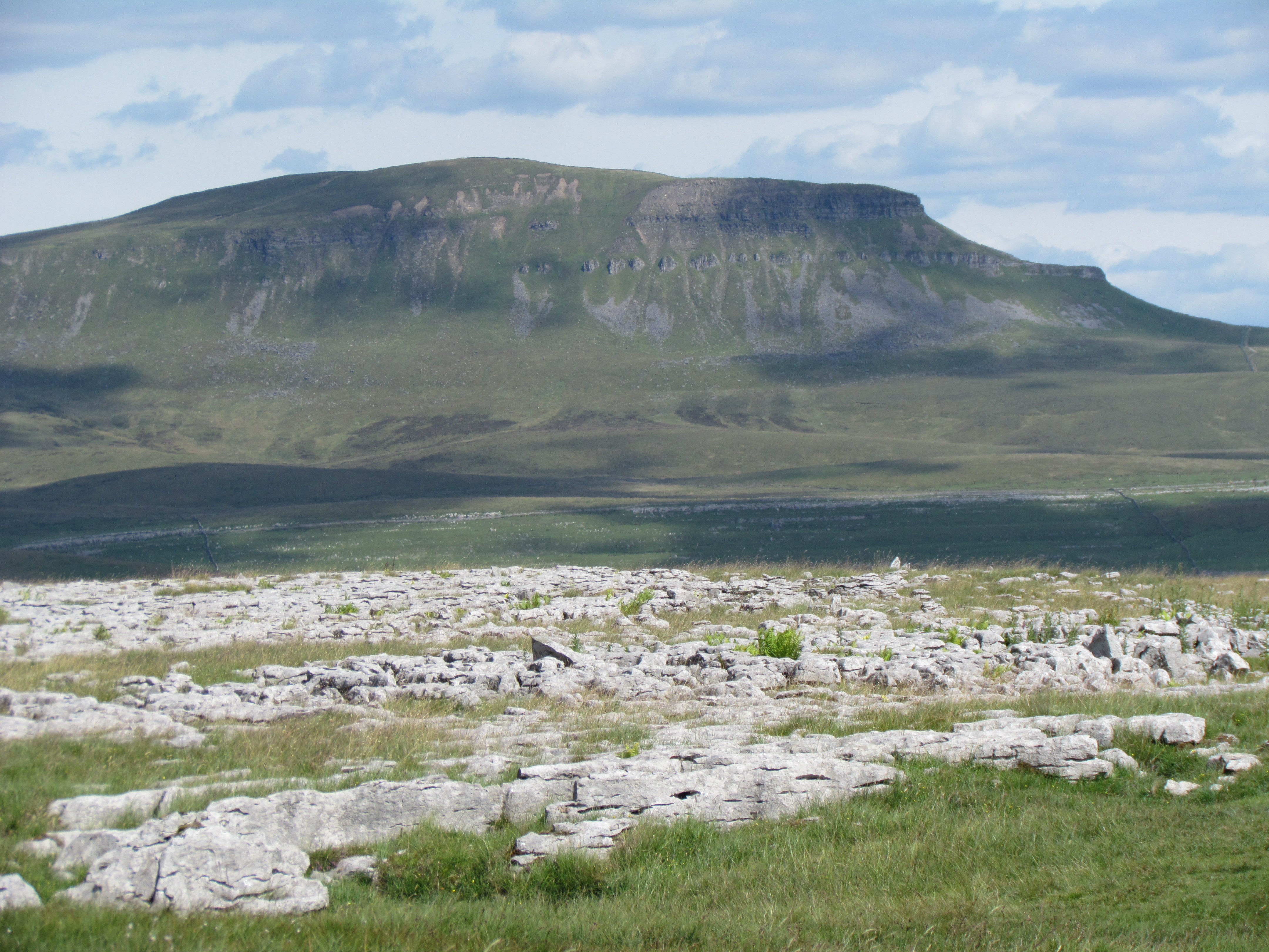
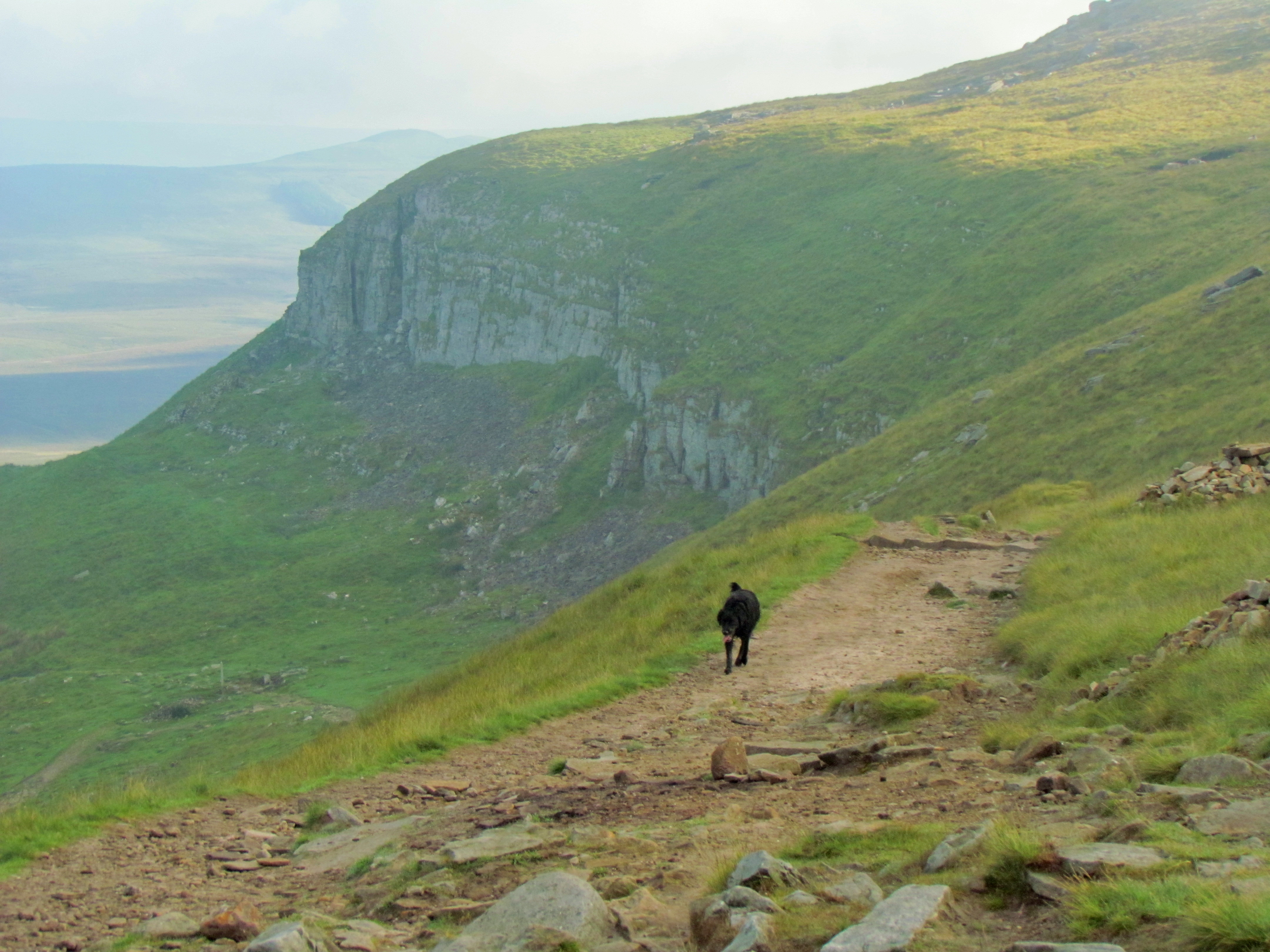
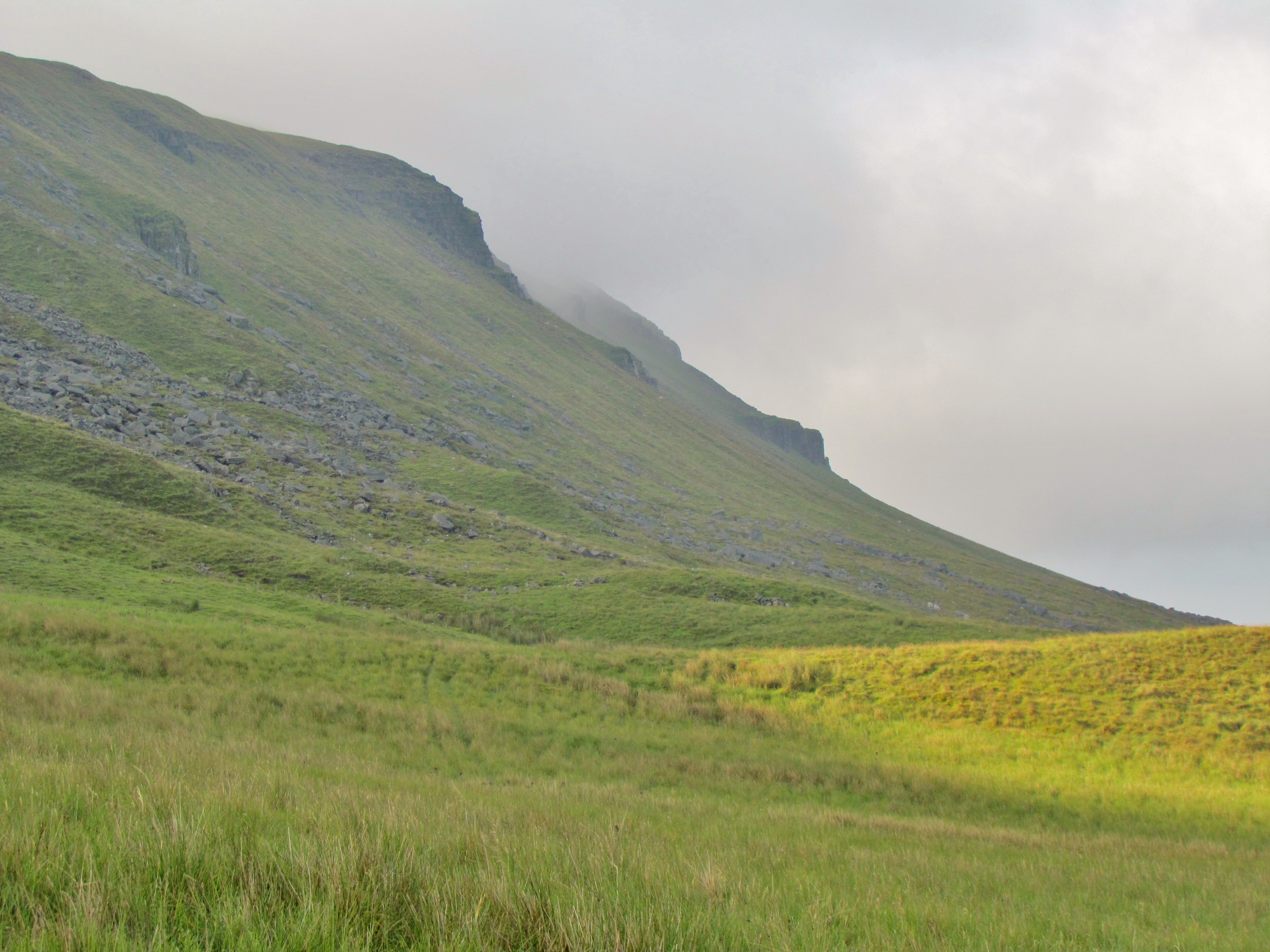
Pen-y-ghent is topped by a long plateau, running from north to south, which is reached by a satisfying-steep final climb.

Geology
The distinctive shape of pen-y-ghent derives from the two thick horizontal layers of limestone, which have eroded more slowly than the sandstone layers between them.
These beds of limestone were formed from the fossilised remains of small crustaceans. These creatures lived in a warm shallow sea that covered Yorkshire around 340 million years ago (during the Carboniferous period). The climate cooled around 320 million years ago, and again around 300 million years ago. During these two periods of cooling, the sea retreated and the area became more delta-like, and flowing rivers brought the gritstone and sandstone which form the intermediate layers in the hill today. The summit of Pen-y-ghent consists mainly of gritstone.
The name
The name of Pen-y-ghent probably derives from the Cambric language which was spoken in northern England and southern Scotland in the early Middle Ages, becoming extinct around the twelfth century. Pen means top, and ghent is thought to mean border. Thus Pen-y-ghent is the hill on the border. We do not know to what border this refers.
Getting there
Pen-y-ghent lies about 2½ miles west of Horton-in-Ribblesdale, and is most frequently walked from there. There are two main routes from the village. The first is by leaving the village to the south and taking a minor road to Brackenbottom, from where a footpath ascends the eastern face of the hill.
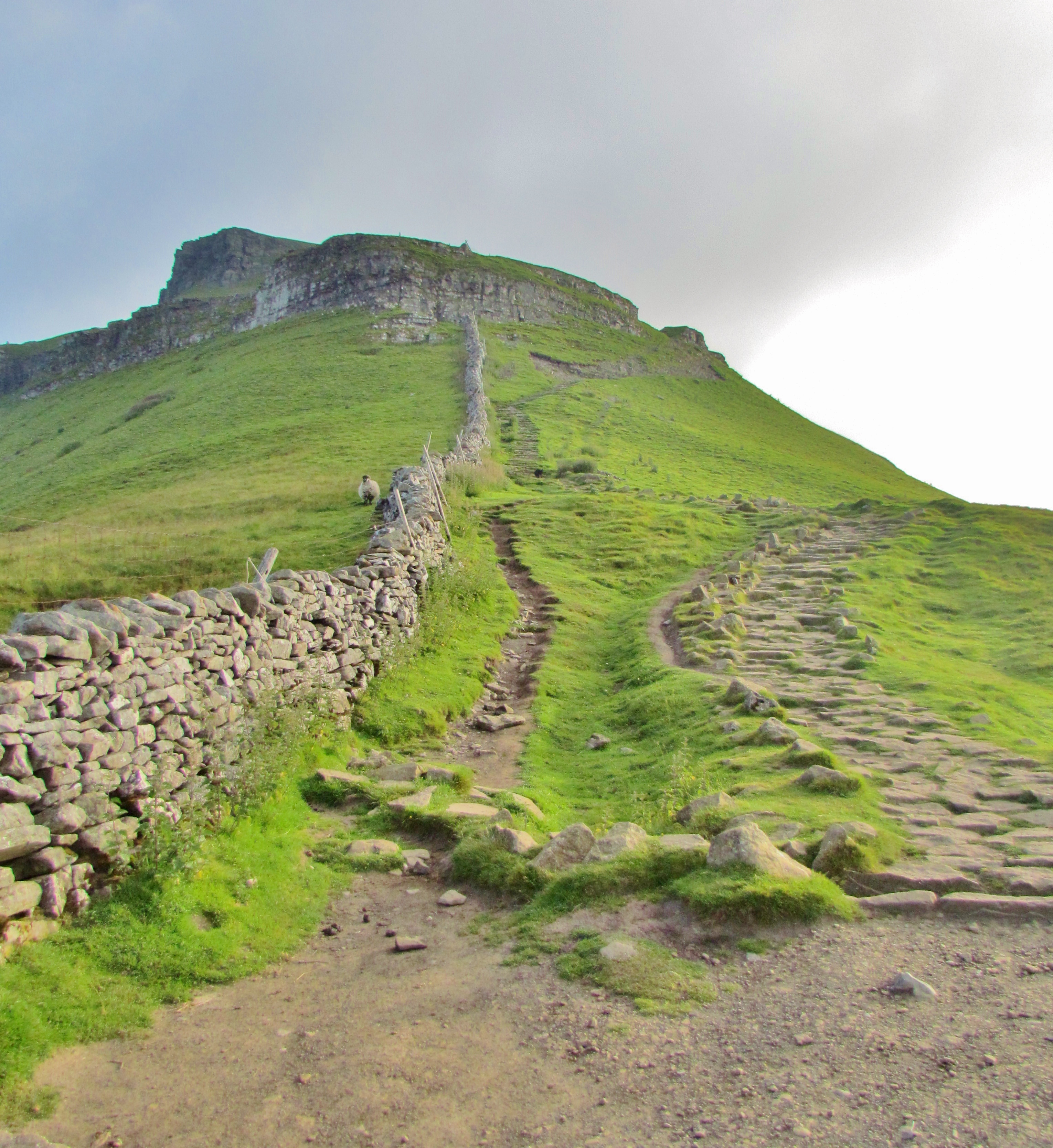
This route is the shortest, and the one usually followed when walking the Three Peaks. The second route is to leave Horton-in-Ribblesdale via a lane from the in the centre of the village. This is the route of the Pennine Way, and approaches the hill from the north.
Circular routes
Combining the two routes above gives the possibility of an excellent six-mile circular route. A slightly longer circular route can be had by following the Pennine Way a little further to the south of the summit, as far as Churn Milk Hole.

Leave a comment